
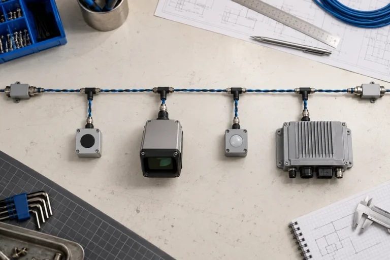
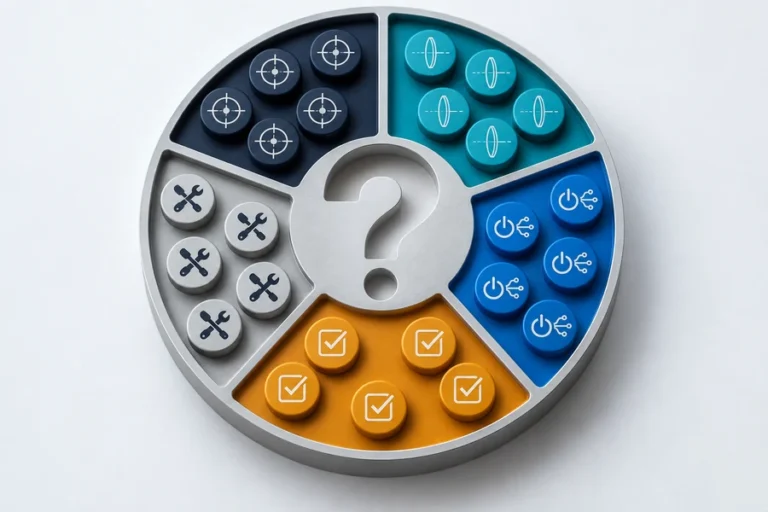
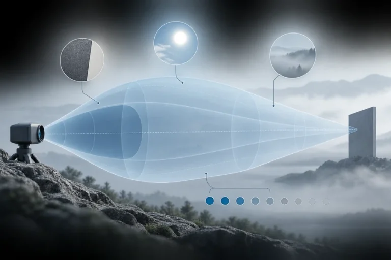

Two sensors may use similar ranging physics and still solve different problems. Choose by the required information, not the label on the enclosure.
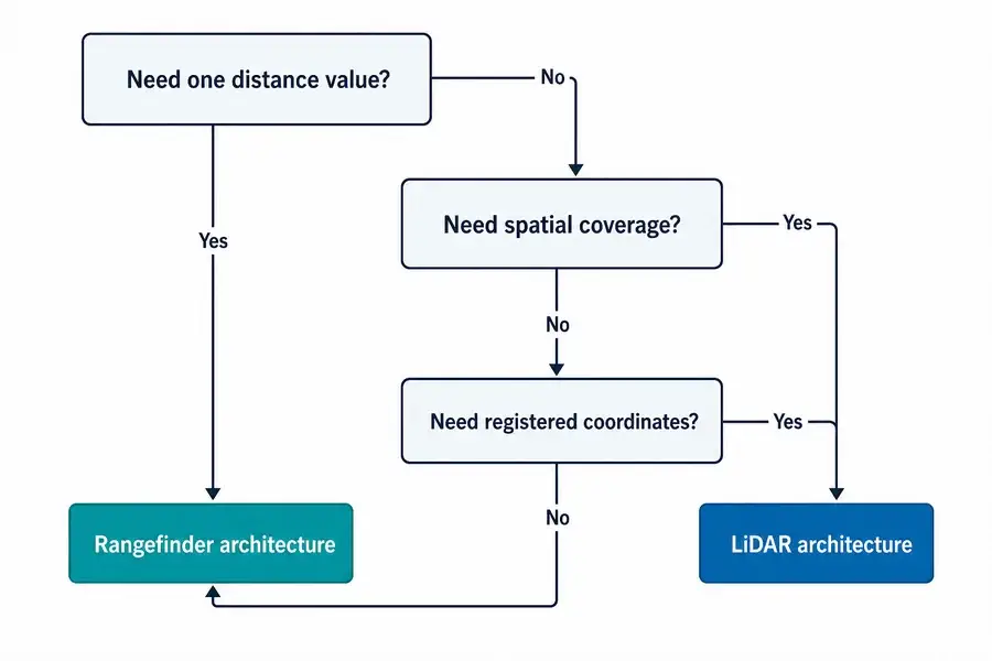
The practical laser rangefinder vs LiDAR decision begins with the required output, not the emitter.
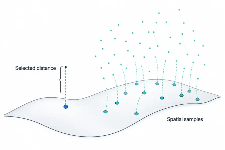
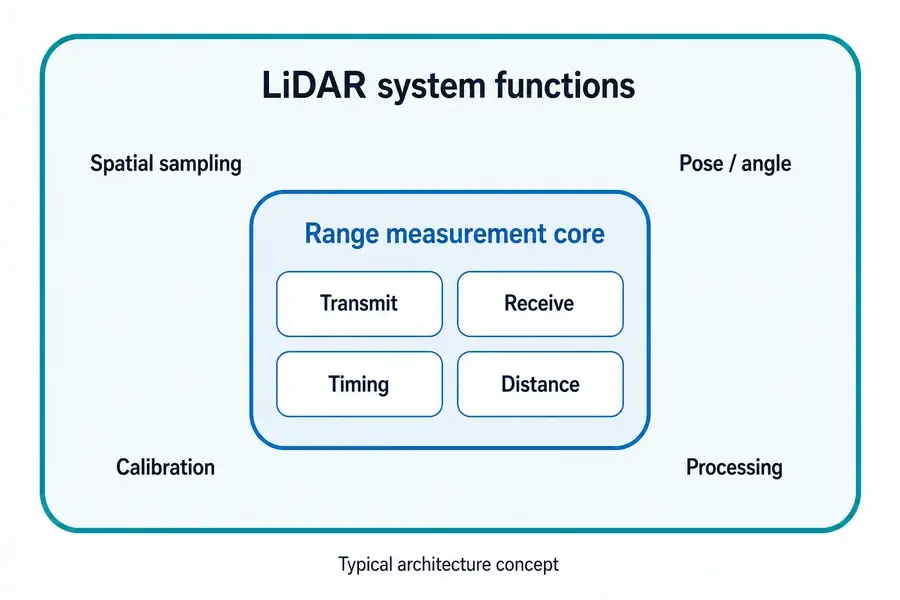
A laser rangefinder normally returns distance along a selected line of sight. LiDAR collects range samples across a field and relates them to direction or position, producing a profile, depth image, or point cloud. A rangefinder can be one subsystem inside LiDAR, but beam steering, spatial registration, calibration, and processing make LiDAR a larger sensing architecture.
Laser Rangefinder vs LiDAR: The Difference Is the Output
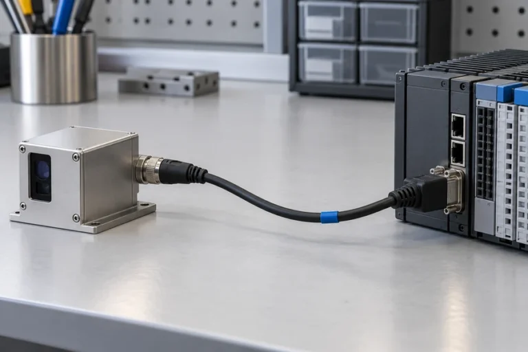
A laser rangefinder answers a focused question: how far is the selected target along this viewing axis? The output may be one measurement per command or a continuous stream. The host decides what to do with that distance.
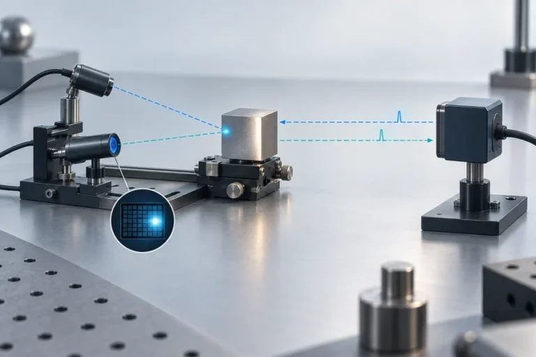
LiDAR answers a spatial question. It associates measurements with a direction, pixel, or platform position. The output may be a 2D profile, depth frame, or XYZ point cloud.
That makes “single point versus many points” a useful first approximation, not a universal definition. Some LiDAR systems steer a beam mechanically. Others use solid-state steering, detector arrays, flash illumination, or hybrid sampling. The durable distinction is whether the instrument delivers a selected range stream or spatially organized range data.
For the module-level definition, see what a laser rangefinder module contains.
They Share Ranging Physics but Not the Same System Boundary
Both categories may transmit light, collect a return, and estimate distance from round-trip time. Some systems use phase-based methods instead. The ranging method does not, by itself, determine whether the finished instrument is called a rangefinder or LiDAR.
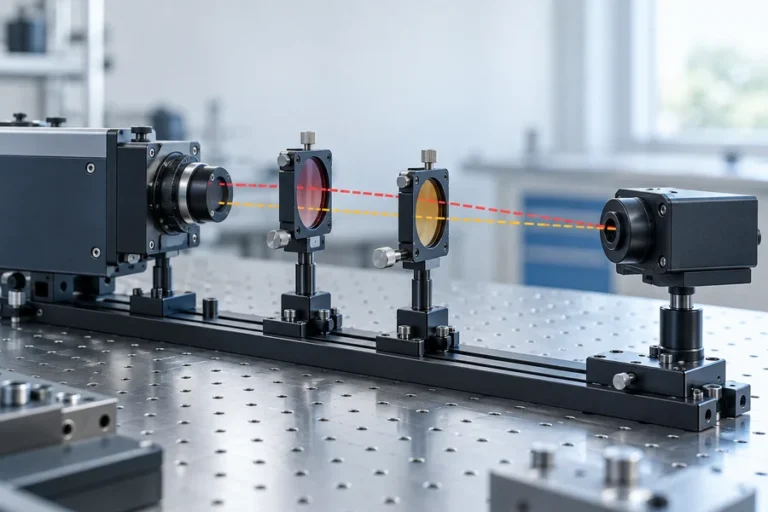
A typical rangefinder module combines a source, optics, detector and analog front end, timing or phase electronics, signal processing, and a host interface. It returns distance without producing a scene model. Our guide to how laser rangefinding works follows this chain.
A LiDAR system adds the functions needed to place many range samples in space. Depending on the architecture, those may include beam steering or an imaging receiver, scan-angle measurement, clock synchronization, position and orientation inputs, geometric calibration, and point-cloud processing. NOAA’s LiDAR guide, for example, describes combining travel time, scan angle, and direct georeferencing to compute three-dimensional coordinates.
This is why a rangefinder can be a subsystem inside a scanning LiDAR instrument. It provides the range measurement; the rest of the system determines where that sample belongs.
When the source itself is under evaluation, the Lumexis pulsed fiber laser platform for LiDAR covers a different system layer from a complete scanner.
Compare the Requirements That Actually Change the Design
The right architecture becomes clearer when the output specification is written before the sensor specification.
| Requirement | Laser rangefinder | LiDAR system | Integration consequence |
|---|---|---|---|
| Primary output | Distance to a selected target or axis | Spatial profile, depth frame, or point cloud | LiDAR needs a coordinate and data model |
| Coverage | Narrow, aimed, or mechanically repositioned by the host | Multiple scene directions or pixels per acquisition cycle | Scan pattern or array geometry becomes a requirement |
| Host data load | Relatively small distance messages | Larger spatial datasets | Processing, storage, and transport must be budgeted |
| Motion knowledge | Needed when the host must interpret a moving line of sight | Often essential for registering samples from a moving platform | Timing and pose synchronization affect map quality |
| Calibration | Boresight, range offset, target and environment validation | Range plus angular, spatial, timing, and often multi-sensor calibration | Calibration ownership must be defined early |
| Best fit | Known target or control axis | Scene discovery, mapping, surface reconstruction | Choose by the decision the host must make |
Coverage is not just field of view. Ask how the field is sampled, how often each location is revisited, and how low-confidence regions are reported.
The coordinate frame matters as soon as a sensor moves. A range value can be valid while its mapped XYZ position is wrong because of angle error, time offset, pose error, or mechanical flex. For fixed-axis control, those additional error sources may not exist or may be handled by the machine’s existing geometry.
Data rate and latency also change the integration. Spatial sensing can require packet decoding, timestamps, filtering, registration, confidence handling, and enough compute to meet the control loop’s deadline.
See the difference in application scope between a selected-target laser ranging solution and a LiDAR and 3D mapping solution.
Accuracy, Range, Power, and Cost Do Not Have a Universal Winner
Many comparisons declare one category more accurate, longer range, smaller, cheaper, or lower power. Those statements are not defensible without shared conditions.
A rangefinder’s distance accuracy is not directly comparable with a LiDAR map’s absolute XYZ accuracy. The map includes the ranging error plus angular calibration, timing, platform pose, registration, and sometimes motion compensation. Conversely, a LiDAR unit may repeat measurements across many directions while a rangefinder concentrates its optical and processing budget on one selected path.
Range also depends on target reflectance, aperture, divergence, receiver sensitivity, atmosphere, ambient light, alignment, signal processing, measurement rate, and the acceptance criterion. Power and cost must be compared at the same system boundary: a bare module and a complete spatial sensor are not equivalent bills of material.
For rangefinder architecture variants and their tradeoffs, use the guide to laser rangefinder module types as a starting point.
Choose a Rangefinder When One Distance Stream Solves the Control Problem
A rangefinder is usually efficient when the target or axis is known. Examples include clearance, altitude above a surface, standoff control, selected-feature positioning, and inspection distance.
Write the requirement in terms of the target, not just the maximum distance. Define target size and reflectance range, angular uncertainty, update rate, allowed invalid-reading rate, operating environment, mechanical envelope, electrical interface, and how the final installation will be validated.
This keeps the sensor scope and host interface clear while avoiding spatial data the controller would discard.
Choose LiDAR When Spatial Coverage Is the Deliverable
LiDAR is appropriate when the system must discover surfaces or objects across a field rather than measure one known line of sight. Civil mapping, remote sensing, infrastructure inspection, terrain profiling, and 3D reconstruction all depend on spatial coverage.
The team must specify sampling geometry, useful point density, revisit behavior, timestamps, coordinate frames, motion, calibration, confidence fields, output format, and downstream software. A dense point cloud is not useful until these elements are controlled.
Scanner selection follows the scene. Static, moving, line-scanning, array-based, and airborne systems do not share the same calibration burden. Treat “LiDAR” as the start of the architecture discussion, not the end.
Define the Interface Before You Ask for a Sensor
Before requesting a recommendation, send a short system brief:
- Required output: one distance, profile, depth frame, or point cloud.
- Target and scene: size, reflectance range, edges, backgrounds, and likely obscurants.
- Geometry: distance band, field of view, pointing uncertainty, and platform motion.
- Timing: update rate, latency, synchronization, and timestamp requirements.
- Environment: temperature, ambient light, atmosphere, vibration, and enclosure constraints.
- Interfaces: power, communications, triggering, data format, and diagnostics.
- Mechanical envelope: size, mass, mounting, window, thermal path, and alignment access.
- Validation: targets, operating conditions, pass/fail metrics, and sample size.
LUMEXIS applications engineers can review these inputs across product selection, integration, validation, and troubleshooting. Our team designs and manufactures laser rangefinder modules and LiDAR laser sources, with optical, optomechanical, electronics, firmware, thermal, and weak-signal ranging capabilities. Engineering and customization support is available for standard, custom, and suitable private-label programs; standard products can ship within three days, while custom timing depends on the project.
Frequently Asked Questions
Is a laser rangefinder the same as LiDAR?
Not usually at the product level. A rangefinder typically returns distance along a selected line of sight. LiDAR organizes measurements across multiple directions or pixels into spatial data. The underlying ranging engine may be similar, and some suppliers use the terms loosely, so evaluate the output and system boundary rather than the name alone.
Can a laser rangefinder module be used inside a LiDAR system?
Yes. In some scanning architectures, a rangefinder supplies the distance measurement while steering, angle measurement, timing, position/orientation, calibration, and processing place each sample in a profile or point cloud. Compatibility still depends on update rate, triggering, interfaces, optical geometry, and synchronization.
Can a rangefinder create a point cloud?
Not by itself. A host can move or steer a rangefinder and combine each distance with known angle and pose, but the resulting system has added spatial sampling, calibration, and processing. At that boundary, the complete instrument performs a LiDAR-like scanning function even though the original module returns ranges.
Is LiDAR always more accurate than a laser rangefinder?
No. Define the accuracy being compared. A rangefinder may specify distance error along one axis, while a LiDAR output may require range, angular, pose, timing, and registration accuracy. Compare both systems on the same target, distance, environment, motion state, update rate, and final output metric.
Does every LiDAR use a moving scanner?
No. Mechanical scanning is common, but solid-state steering, flash or array-based depth capture, and hybrid approaches also exist. The shared requirement is spatial sampling and organization of multiple measurements, not one mandatory steering mechanism.
References
- NOAA Coastal Services Center, Lidar 101: An Introduction to Lidar Technology, Data, and Applications.
- U.S. Geological Survey, Terrestrial Light Detection and Ranging Technology.
- U.S. Geological Survey, EROS Plays Major Role in Evolution of LiDAR Technology and Applications.
- Leica Geosystems, The Evolution of LiDAR.
If you share the output type, target, range band, field of view, motion, interface, environment, and envelope, contact the Lumexis engineering team. We can help determine whether a standard rangefinder module, a LiDAR laser source, or a custom configuration fits the system boundary you have defined.